Omushkegowuk Leaders, Federal Officials and Supporters Celebrate Announcement
KASHECHEWAN FIRST NATION — Omushkego First Nations and the federal government have taken a major step toward establishing a national marine conservation area (NMCA) along the west coast of James and Hudson Bays.
Representatives from Mushkegowuk Council, the federal government and several supporter organizations were in the Northern Ontario community of Kashechewan First Nation on Wednesday, Feb. 21 where the feasibility study for the NMCA was formally accepted. Kashechewan is 400 kilometres north of Timmins, where the Albany River meets the west side of James Bay.
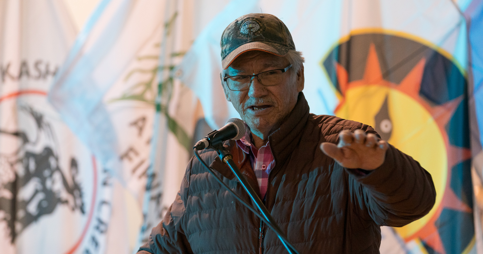
“The announcement made here in Kashechewan today shows progress toward our larger Omushkego Wahkotowin vision,” explained Lawrence Martin, director of Mushkegowuk Council’s Lands & Resources department which is spearheading the Indigenous-led conservation project.
“We celebrate today, then we continue to work with our communities, governments, and industry on a plan for all of the traditional lands and waters of the Omushkego Cree.”
This latest development follows the announcement made in December 2022 when Ottawa committed to spending up to $800 million to support four major Indigenous-led marine conservation projects across the country including this one.
“This is an opportunity for us to show Canada and the world the national and global importance of this area for its biodiversity and to be able to focus attention on how important the waters and the shorelines are to people physical and cultural sustenance,” said Martin.
He said First Nation communities within the Mushkegowuk area will continue to have direct input in identifying areas they want protected and areas where they would support resource development.
“By using land-use planning tools available through the Far North Act, the opportunity is there for First Nation communities to outline specifically areas they want protected while retaining treaty and hunting rights, and areas where they would allow resource development to happen,” explained Martin.
The goal is to build up a “working relationship” with all stakeholders that would additionally include industry and the provincial government.
“Hopefully in the next few months that will come to fruition where we have Ontario at the table with Canada at the same time,” he said.
Mushkegowuk Council is a regional governing body representing Attawapiskat First Nation, Chapleau Cree First Nation, Fort Albany First Nation, Kashechewan First Nation, Missanabie Cree First Nation, Moose Cree First Nation, and Taykwa Tagamou Nation. These communities are joined in this project by the First Nations of Weenusk and Fort Severn.
For more information contact:
Walter Leo Friday
Lawrence Martin
Download original feasbility study here.
View the facebook livestream here.
See background information here.